On-site capture
Scan positions planned around production access; targets and survey control placed before capture starts.
High-precision laser scanning of existing plants for retrofit planning, as-built documentation, point-cloud models, and clash-aware engineering.
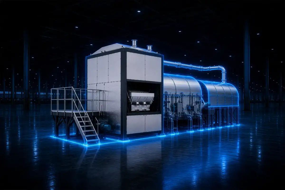
High-density laser scanning of existing casthouse areas — turned into registered point clouds and as-built CAD that anchor retrofit decisions to real geometry.
Existing structures, equipment, clearances and routing spaces are captured on site, registered to a survey control and delivered in formats engineering teams can plan against. The result replaces "we think it fits" with measured geometry.
Reference values for typical brownfield casthouse captures. Final figures depend on plant size, access windows and target deliverable.
typical single-point accuracy on relevant plant distances.
horizontal × vertical coverage per scan position.
for a typical casthouse line, around production windows.
from last scan to registered point cloud & CAD basis.
Three phases turn a noisy plant into a usable as-built basis — with CETAG handling planning, capture and delivery.
Scan positions planned around production access; targets and survey control placed before capture starts.
Scans are registered against control, noise and moving objects removed, and the cloud delivered in engineering formats.
As-built CAD of relevant zones, clash checks against new equipment, and handover to the engineering team.
A 3D scan recovers documentation that was never recorded or lost over time — and becomes the basis for planning new work against measured reality. New project data can be merged into the original point cloud to visualise its impact on safety, operation and logistics.
Every CETAG scan job leaves with these four deliverables — documented, traceable and ready for the next engineering phase.
Discuss scanning scopeCleaned and registered scan data in e57, rcp or las — ready for CAD review and engineering use.
Cleaned mesh and surface geometry for visualisation, VR walkthroughs and stakeholder review.
Retrofit-zone CAD modelled from the scan — sized to the engineering need, not the entire plant.
Scan-position map, accuracy summary and coverage notes for the project record.
A scan is rarely the end deliverable — it usually feeds engineering, VR review or fabrication work that comes right after.
Uses the scan as planning basis for retrofit design and equipment integration.
Read more 05 / ReviewWalk through the captured plant before design freeze — with operators, not just engineers.
Read more 01 / FabricationNew hardware fabricated to land in the scanned geometry on first try.
Read moreSend the area — we'll come back with a scan plan, access windows and a realistic delivery window for the as-built data.